
National Parks
258 photos
About a quarter of Costa Rica's territory is under some form of protection. These are photos from its national parks, from the trails to the wildlife along them.
Browse National Parks
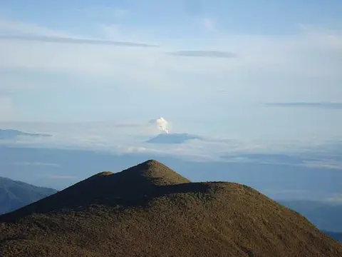
La Amistad National Park
54 photos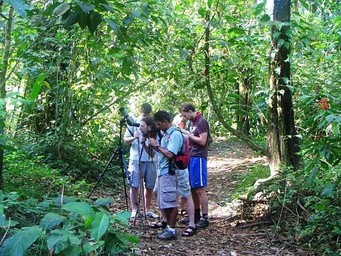
Corcovado National Park
36 photos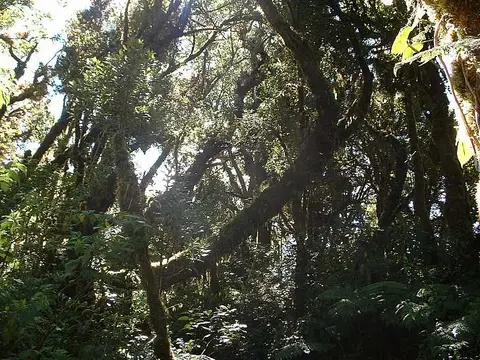
Barva volcano national park
29 photos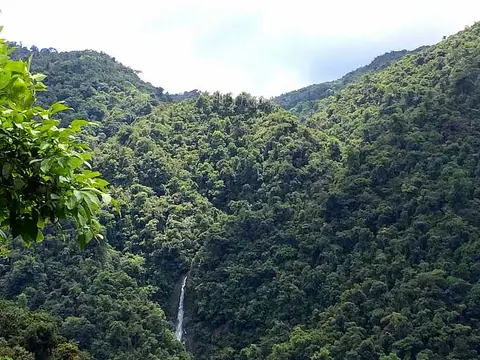
Tapanti National Park
23 photos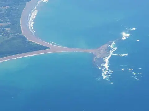
Ballena National Marine Park
21 photos
Isla del Caño Biological Reserve
17 photos
Cabo Blanco Nature Reserve
16 photos
Barra Honda National Park
13 photos
Braulio Carrillo National Park
12 photos
Pico Blanco Reserve
11 photos
Area de Conservacion Guanacaste
10 photos
Tortuguero National Park
8 photos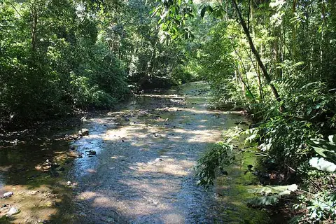
Carara National Park
8 photosSelected photos: National Parks
Barva volcano´s Flora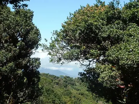 Taking the mountain view at Barva volcano
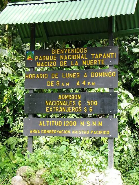 Entrance sign
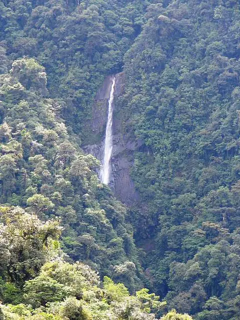 Mountain waterfallCatarata Tapanti Cartago
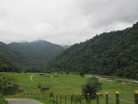 Hacienda Ganadera Tapantí
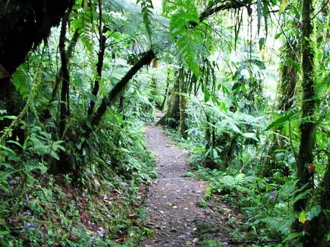 La Catarata pathEl TómboloBird watchingLodge pierBridge
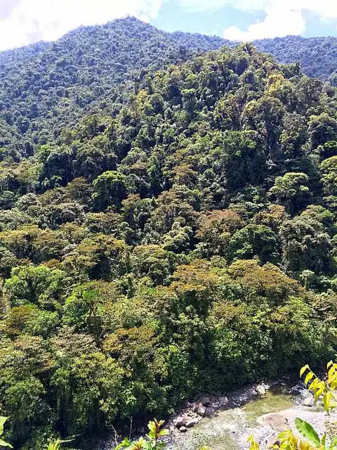 Rio Orosi Tapanti
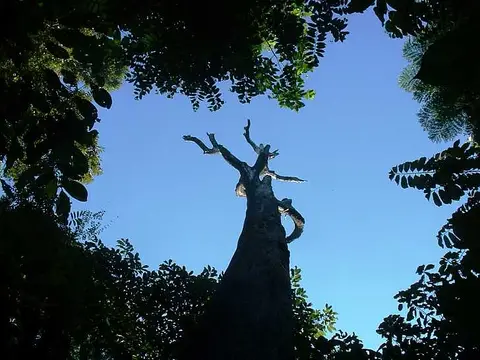 Forest hole
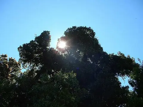 Sun peaking through the leaves at Barva volcano
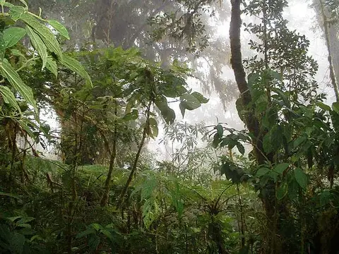 Cloud forest at the Barva volcano national park
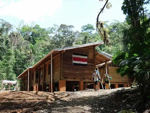 Los Patos Station
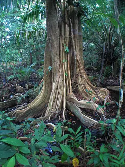 Tree trunk
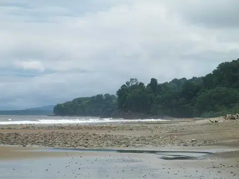 Beachfront at Ballena marine park
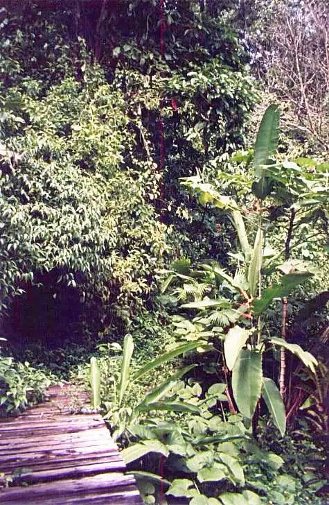 Wood bridge
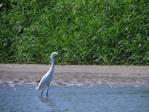 Egret in the canals
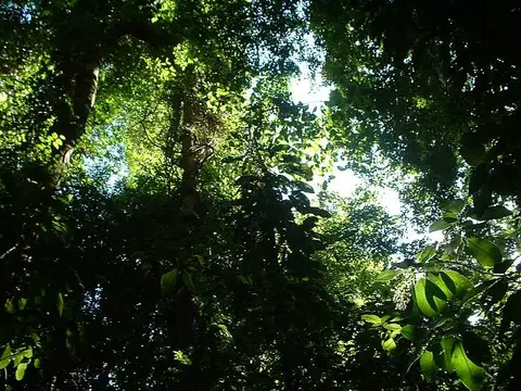 Forest canopy
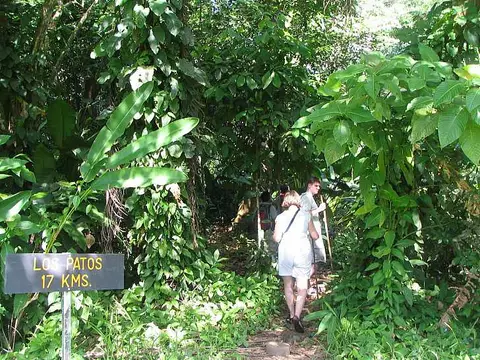 Los Patos path
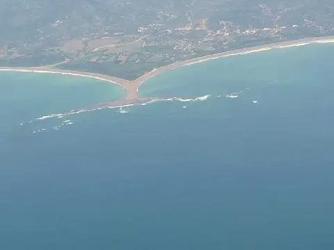 Aerial view of National Park Marino BallenaBurial site
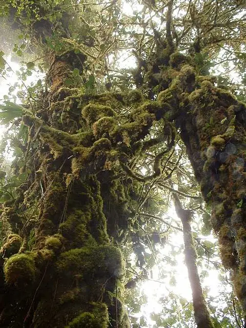 Cloud Forest´s Flora
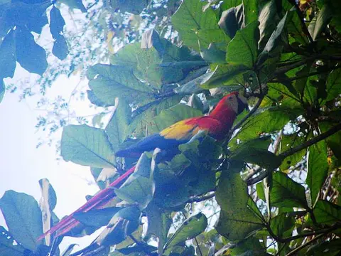 Scarlet macaw
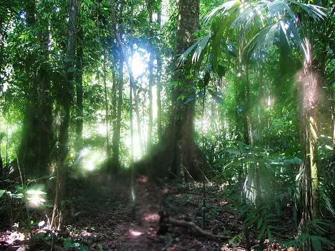 Steaming forest
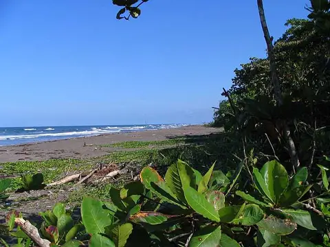 Tortuguero beach
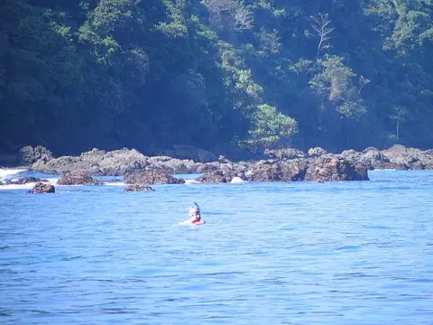 Snorkeling
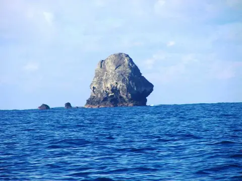 Roca Corcovado
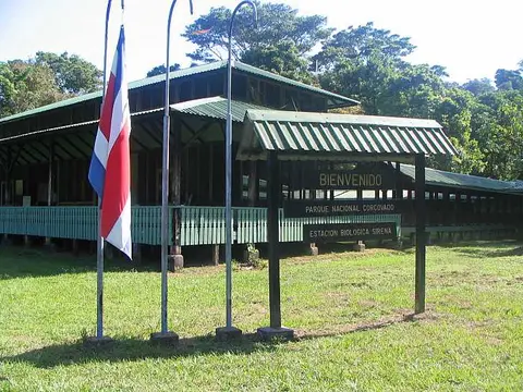 Rio Sirena park house
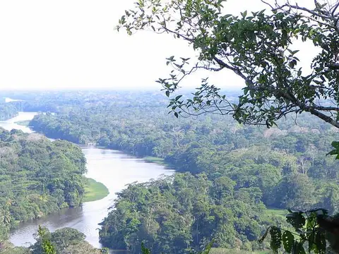 Tortuguero canalsActive Turrialba volcano seen from Chirripo.
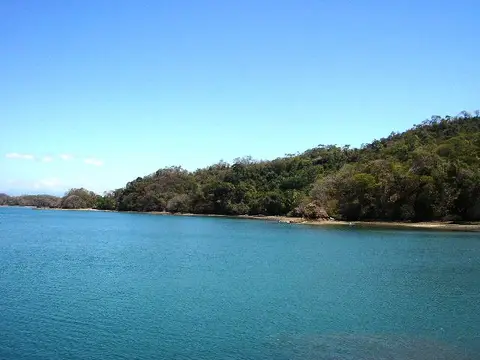 Shore
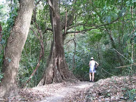 Higueron Tree
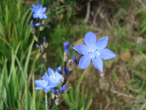 Mountain flowers
Who manages the national parks?
SINAC, the National System of Conservation Areas, sits under the Ministry of Environment and Energy and groups the country's protected land into 11 conservation areas. Parks are only one of several categories; reserves, refuges and forest zones follow different rules, which is why a name like Cabo Blanco Nature Reserve does not match the word "park".
Where did protection begin?
A SINAC management plan dates the first protected area to 21 October 1963, when Executive Decree No. 10 created the Cabo Blanco Absolute Natural Reserve at the southern tip of the Nicoya Peninsula. The initiative is credited to Olof Wessberg and Karen Mogensen, who were responding to heavy deforestation on the peninsula.
What do three of the parks look like?
Tapantí is one of the wettest places in the country. SINAC reports average rainfall above 6,500 mm a year, more than 150 rivers, and the sources of the Reventazón and Pacuare rivers in its highlands.

The photo shows a single thin waterfall dropping through unbroken forest on a steep slope, the kind of view the rainfall figures lead you to expect.
At Ballena National Marine Park, SINAC describes the "whale tail" as a rock and sand formation built by tidal sedimentation. It can be walked only at low tide, and its shape reads best from high ground or from the air, as in this aerial view.

SINAC also notes that humpback whales arrive every year between July and October to breed in the park's waters.
Corcovado National Park on the Osa Peninsula was created by decree on 24 October 1975.

This photo shows a small group on a forest trail with a spotting scope on a tripod, aimed up into the canopy.
Is access the same every year?
No. Trails, rivers and entrances close for weather, maintenance or safety, and entry rules differ by park. Check SINAC before planning a visit, and see La Amistad National Park for the largest of the groups in this archive.