
Cartago City
42 photos
Cartago is the capital of Cartago province. It was also the capital of Costa Rica until 1823.
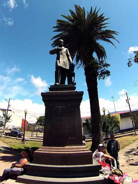 Jesus Jimenez
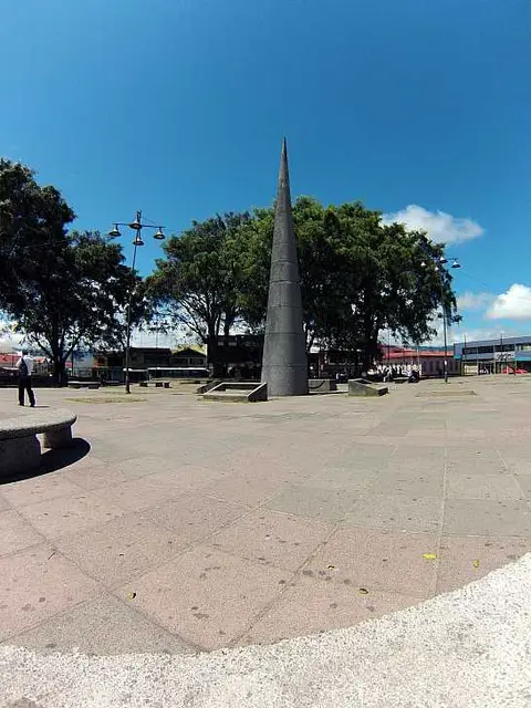 Cartago Park
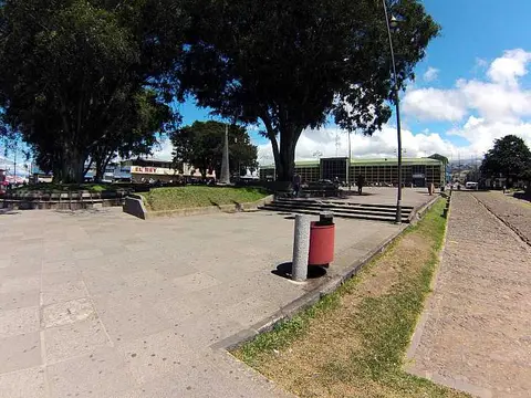 SouthEast park corner
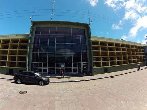 Municipalidad de Cartago
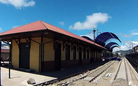 Old Train Station
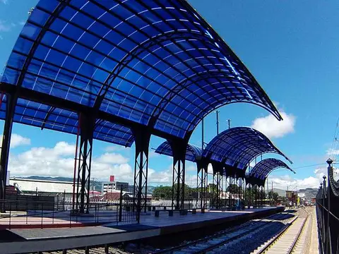 New Cartago Train Station
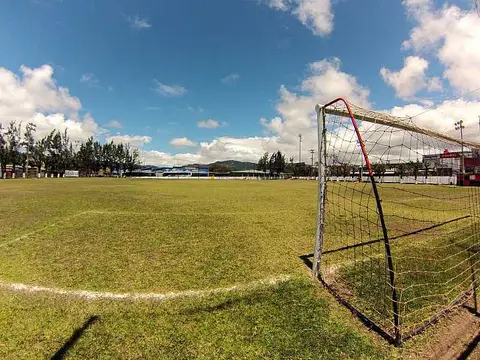 Soccer Field
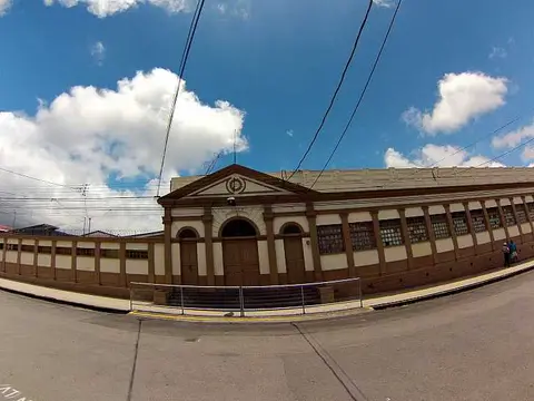 Escuela Ascensión Esquivel
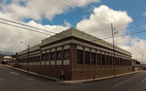 Ascension Esquivel Primary School
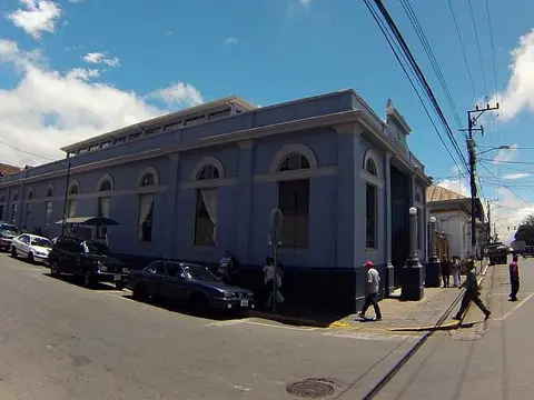 biblioteca
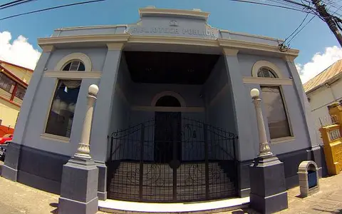 Public Library
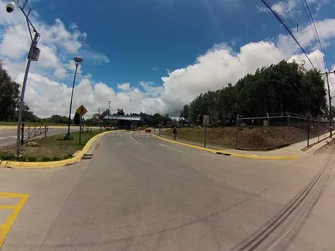 TEC - Tecnológico de Costa Rica
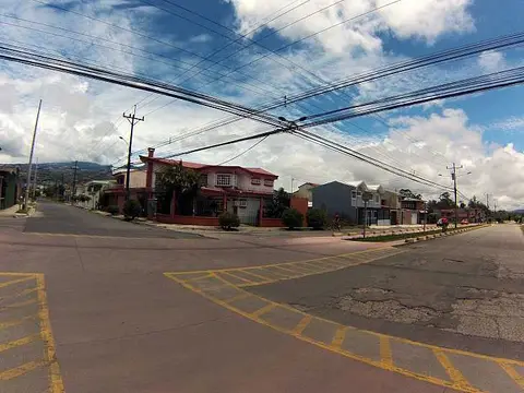 Bike Route
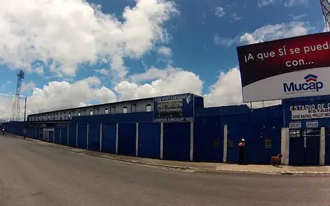 Estadio Club Sport Cartagines
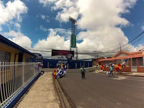 Soccer Flags
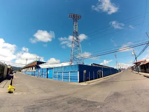 Cartago Stadium
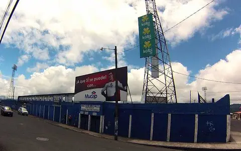 North face
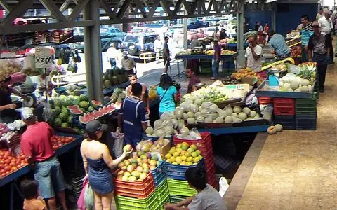 Fesh fruits and Vegetables
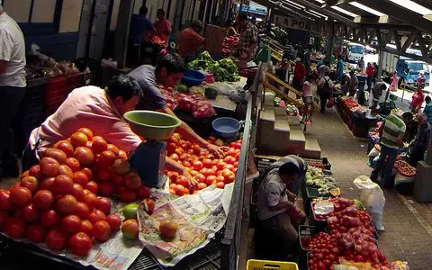 Fresh Vegetables in Cartago
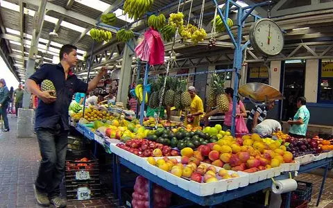 Tramo de Frutas
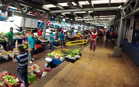 Mercado de Cartago
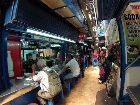 Soda en el Mercado
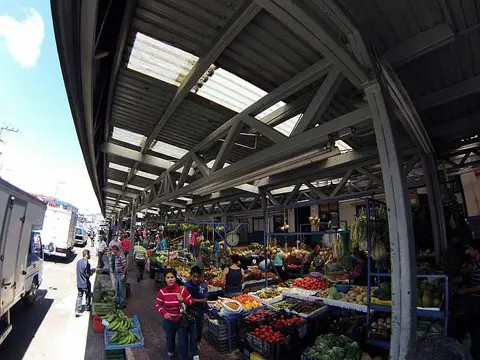 Mercado Municipal
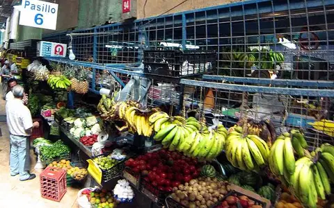 Frutas y Vegetales
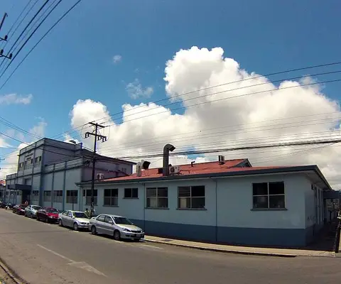 Cartago Hospital
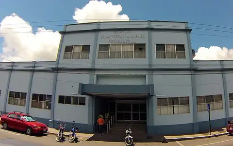 Hospital Enterence
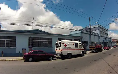 Ambulance
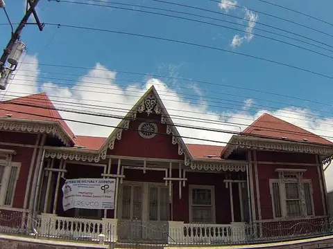 Casa Jimenez Zamora
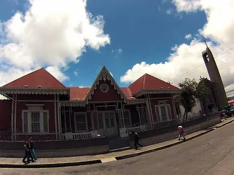 West Face
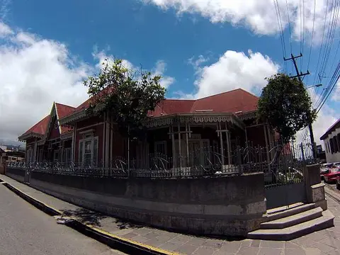 Casa Jesús Jiménez
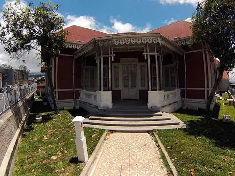 Main entrence
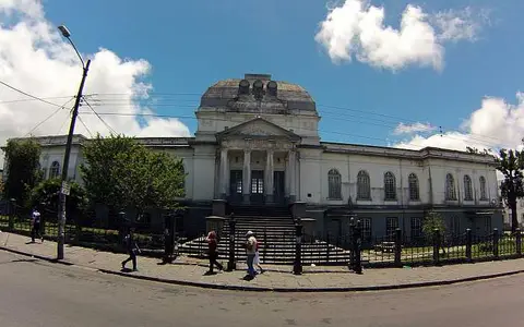 Colegio de San Luis Gonzaga
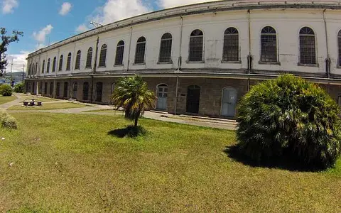 South Face
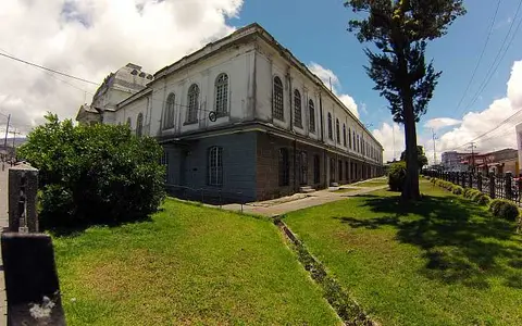 SouthWest Corner
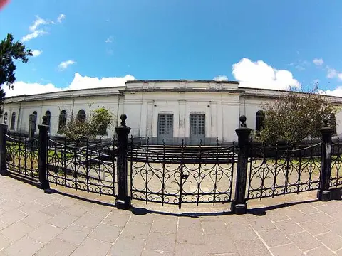 North Face
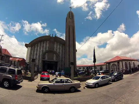 Iglesia San Francisco de Asis
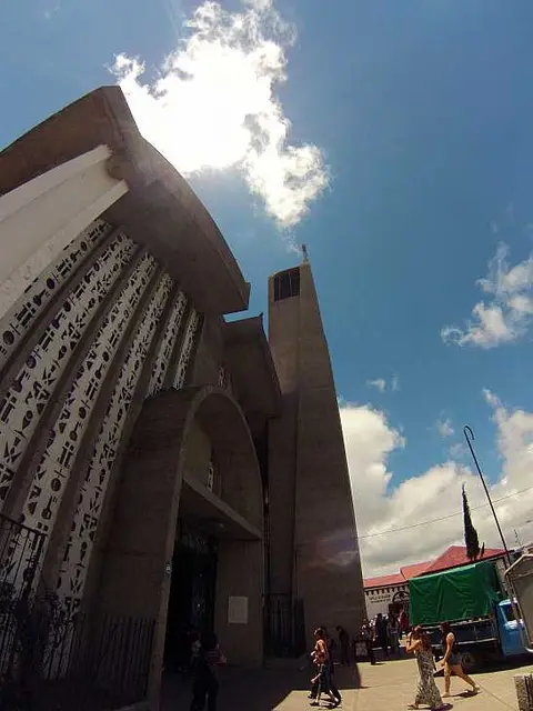 Church Steeple
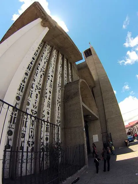 Church Symbols
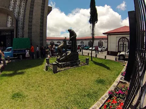 St. Francis of Assisi
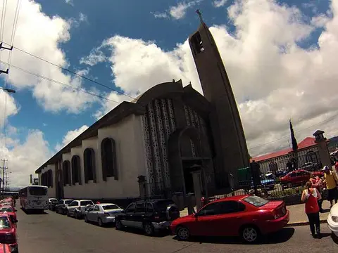 Church of St. Francis
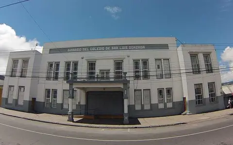 School Gym
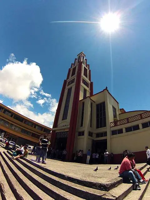 Church in Cartago
Why is Cartago historically important?
Cartago's original foundation dates to 1563, according to a University of Costa Rica study of the city's earthquakes. Spanish conqueror Juan Vázquez de Coronado set the city's boundaries between the Coris and Purires rivers, and Cartago remained the capital until the seat of government passed to San José in the early nineteenth century. The city lies in a valley near the Irazú volcano, in the Central range.
What did earthquakes do to the city?
Earthquakes damaged Cartago in 1822 and 1841, and the 1910 earthquake destroyed it again. The tourism board notes that after 1910 builders gave up adobe and wattle and daub in favor of wood and sheet metal. The ruins of the parish of Santiago Apóstol show the effect. Franciscans founded a church on that site between 1577 and 1580. A later building began in 1870 but was never finished, because of lack of resources and then the 1910 quake.
Which buildings still tell the story?
- The Basilica of Nuestra Señora de los Ángeles: the first chapel dates to 1639, and the present Byzantine-style church was built between 1912 and 1930 to a design by Luis Llach. It was declared an architectural heritage site in 1999. Each August 2 a national pilgrimage ends here.
- The old railway station: built early in the twentieth century as the Atlantic Railroad station, declared a heritage site in 1997 and later restored as an art gallery.
- The municipal market: commerce took place on the Plaza Mayor from 1575. An English construction company built a market in 1886, the 1910 earthquake destroyed it, and the same company then built the current building.

The old station, a yellow wooden building with a red roof, beside the tracks and a modern curved canopy.

Produce stalls under the market roof, with shoppers and sellers in the covered aisles.
What else is in Cartago?
The Instituto Tecnológico de Costa Rica, known as the TEC, was created by law on June 10, 1971, and Cartago's citizens campaigned for it to be based in their city. Its campus appears in the archive alongside schools and a stadium.
Related pages. Just outside the city, see the colonial church at Orosi and Tapantí National Park. Other religious buildings are gathered under churches, and nearby peaks under volcanoes. In the same province, Turrialba is also covered. These photos are many years old, so check current conditions at the sites.
Sources
- Universidad de Costa Rica
- Visit Costa Rica (ICT): Cartago
- Visit Costa Rica (ICT): Cartago
- TEC: Resena tec
Last reviewed November 6, 2026.