
Volcanos
107 photos
Costa Rica sits on the Central American volcanic arc, and most of the land around its volcanoes is protected as national parks. Irazú is the highest, at 3,432 meters. This collection also includes Arenal, Poás, Turrialba and others.
Browse Volcanos
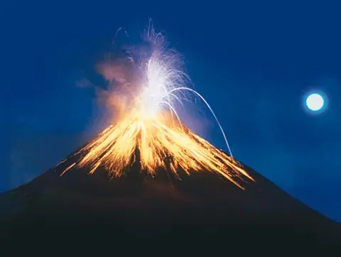
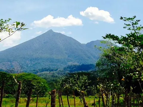
Selected photos: Volcanos
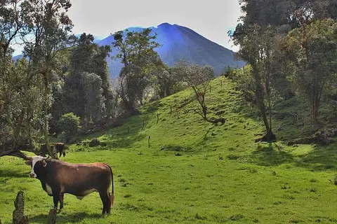 Volcano Pasture
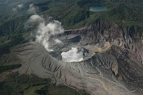 Poas Volcano from the air
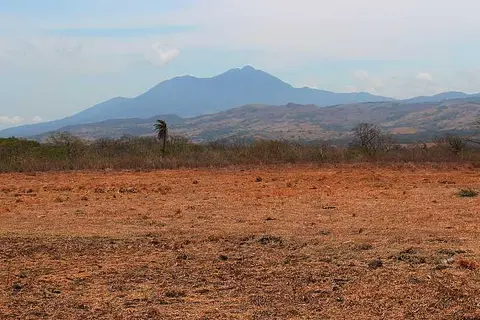 Tenorio Volcano
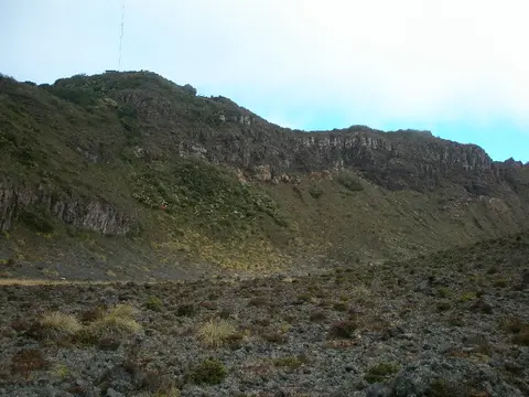 Scenery at the Turrialba volcano
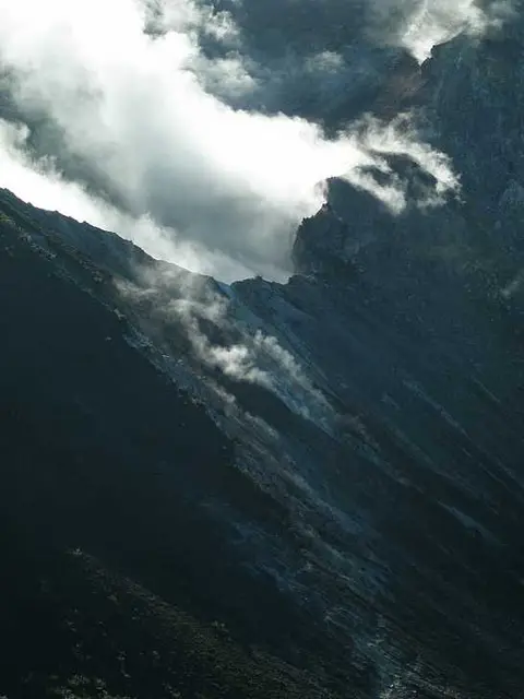 Gasses coming out of the Turrialba volcano
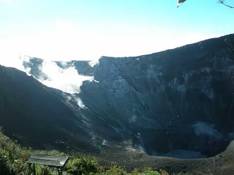 The Turrialba national park
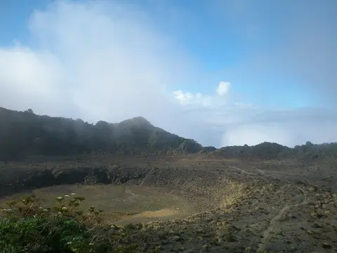 Amazing landscapes at the east crater
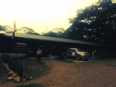 Tenorio Park Station
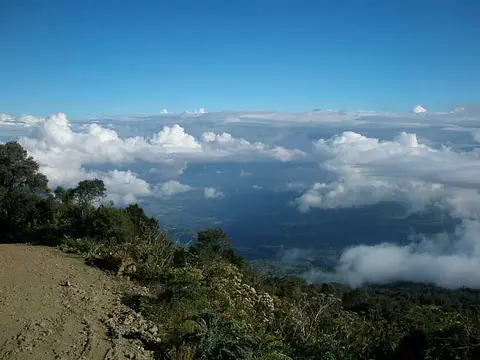 Risky road up to the volcano
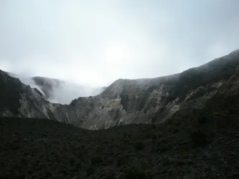 Turrialba volcano
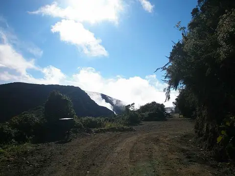 The road up to the volcano
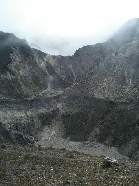 One of the craters at Turrialba volcano
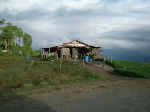 Small farmers house at the volcano slopes
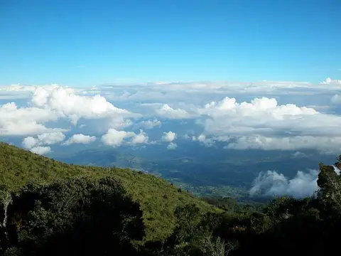 Above the clouds at Volcan Turrialba
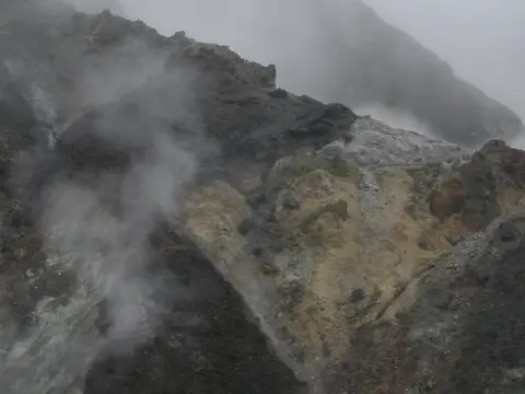 Sulfur at Turrialba volcano
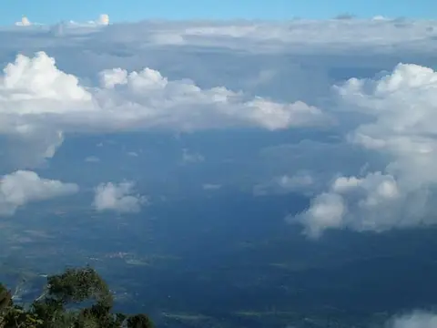 Looking down to the valley
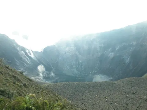 Volcano activity
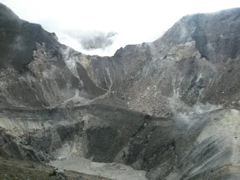 At the edge of the crater
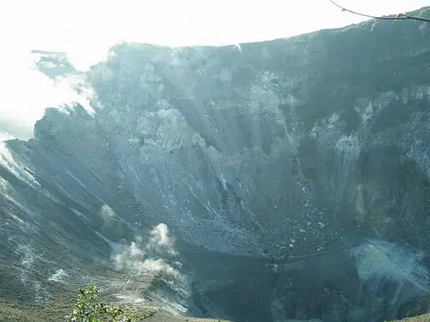 Crater walls
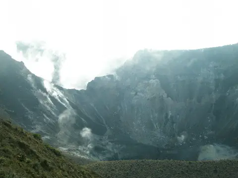 Witness an active volcano
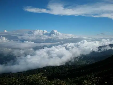 Amazing view
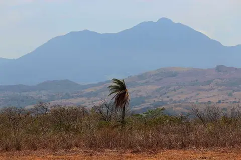 Volcan Tenorio
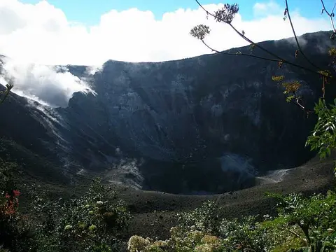 The Turrialba volcano
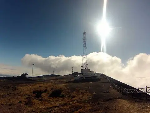 Irazú Summit
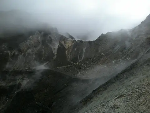 Clouds moving into the crater
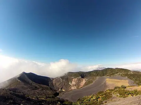 Irazú Crater and Turrialba Volcano
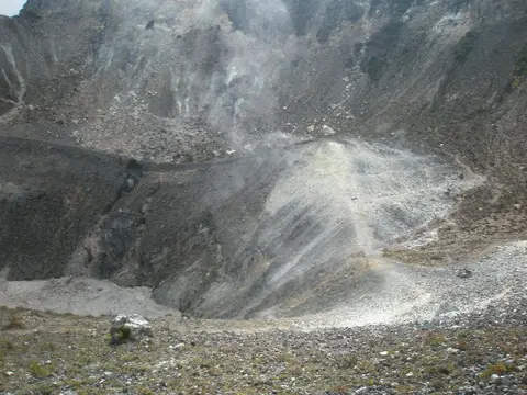 Almost at the edge of the crater
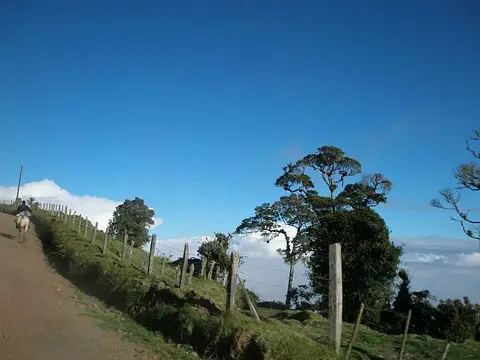 Cowboy riding up the volcano road
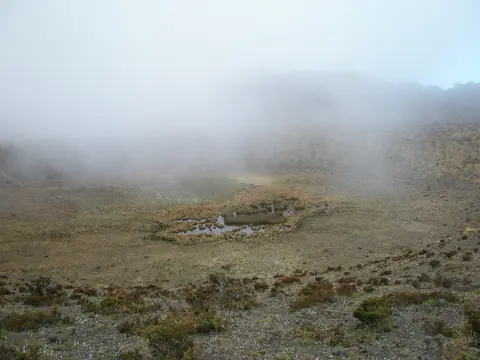 Walking on the east crater
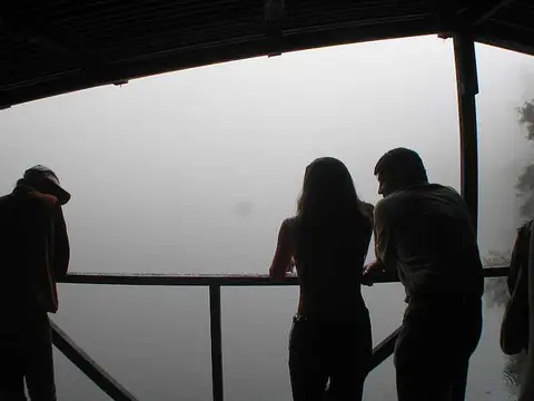 View of Barva Lagoon
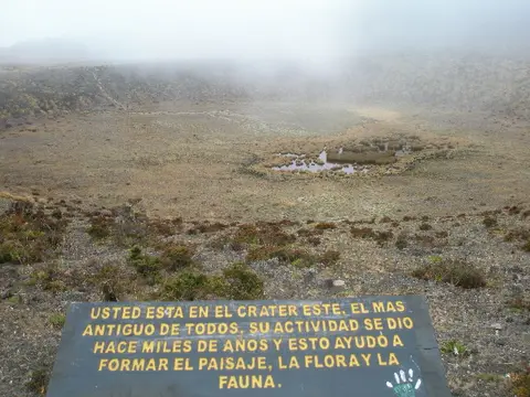 The east crater
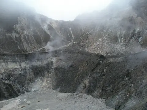 View of the main crater
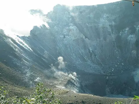 Steep volcano walls
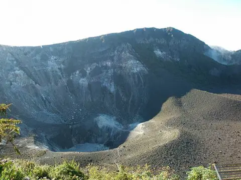 Seen from above
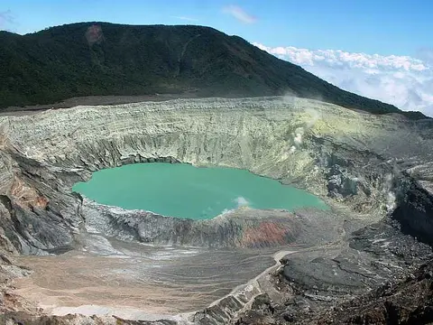 Poas Crater
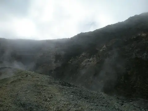 Typical moon scenery found at volcanoes.
Why does Costa Rica have volcanoes?
The Cocos Plate dives beneath the Caribbean Plate off the Pacific coast, and the melting that follows feeds a chain of volcanoes running through the middle of the country. Geologists divide this arc into ranges, including Guanacaste, Tilarán and the Central range. Some volcanoes here are dormant or extinct, so a mountain with a volcano's profile is not always dangerous.

This photo of Tenorio shows the distant cone rising above flat, dry pasture near Cañas in Guanacaste, a reminder that these peaks are often seen across farmland.
Which volcanoes are active?
The observatory OVSICORI-UNA, run by the Universidad Nacional, monitors five active volcanoes: Rincón de la Vieja, Arenal, Poás, Irazú and Turrialba. Each has a different record.
- Arenal erupted on 29 July 1968, its first eruption in about 500 years, killing 78 people and destroying two towns. Activity then continued until 2010 and has been much quieter since.
- Irazú is the country's highest volcano at about 3,430 m. During its 1963 to 1965 eruptions ash fell on San José, and lahars destroyed houses and bridges.
- Poás holds Laguna Caliente, one of the most acidic natural lakes known, with a pH near zero. Its eruptions are steam-driven.
- Turrialba began a vigorous gas-release phase in 2005, and acid rain has caused damage around it.

The aerial view of Poás shows a steaming crater floor with a pale lake, grey slopes stripped of forest and green hills beyond.

This Turrialba photo is narrow and steep: bare dark slopes, with cloud and gas drifting across the crater rim.
Can I visit a volcano?
Access changes. A park can close its crater trails, or the whole park, when gas, ash or explosions rise, and reopening is decided by the authorities and not on a calendar. Check SINAC for park status and OVSICORI-UNA for volcanic activity before you plan anything. The photos in this archive are historical, and several craters have changed since they were taken.