
Rivers & Waterfalls
154 photos
Images of rivers, lakes, and waterfalls.
Browse Rivers & Waterfalls
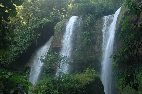
Diamante Waterfalls
17 photos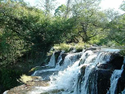
Cataratas de Cortes
15 photos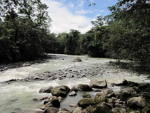
Rio Pejibaye
15 photos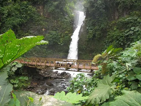
La Paz Waterfall
12 photos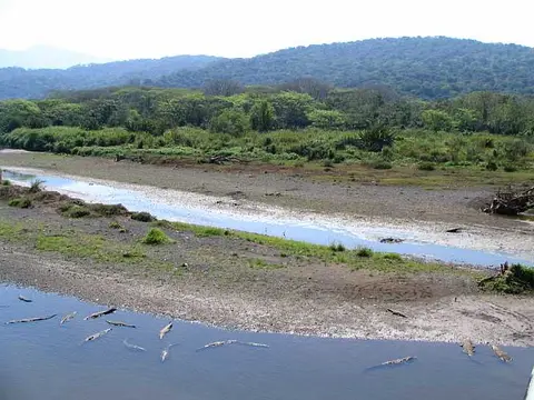
Río Tarcoles
11 photos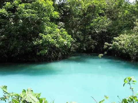
Rio Celeste
10 photos
Rio Claro
9 photos
Río Sarapiqui
9 photos
Rio Pacuare
8 photos
Río San Juan
8 photos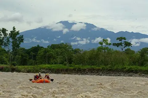
Río Reventazón
6 photos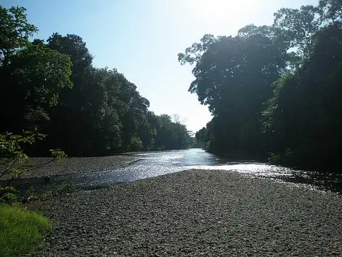
Rio Arío
5 photos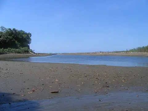
Río Sirena
5 photos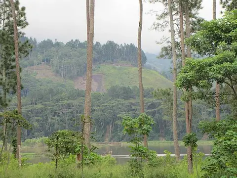
Lago Cachí
4 photos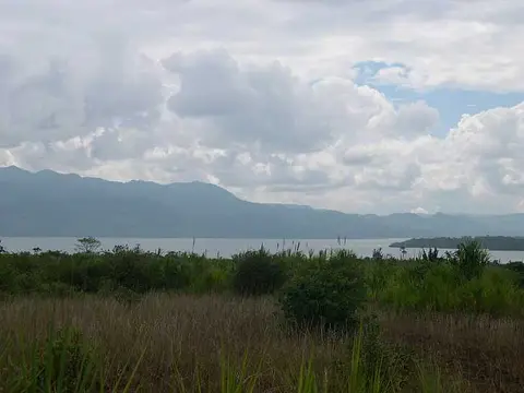
Arenal Lake
3 photos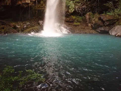
La Cangreja Waterfall
3 photos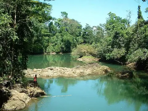
Rio Drake
3 photos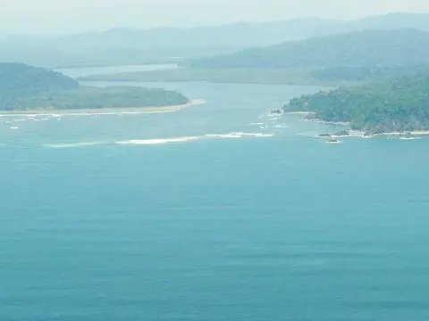
Río Sierpe
3 photos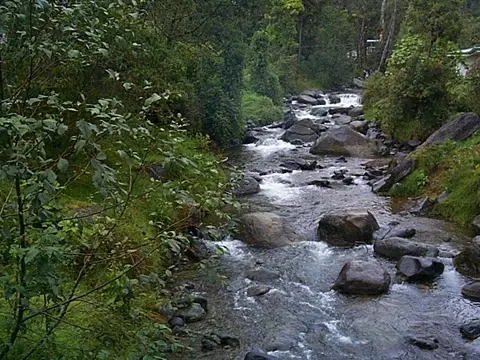
Río Savegre
3 photos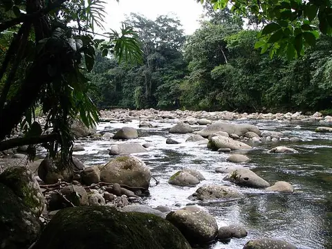
Rio Costa Rica
2 photosSelected photos: Rivers & Waterfalls
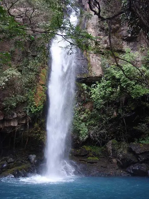 La Cangreja WaterfallLago Cachí
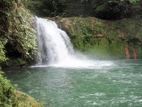 Pozo Azul
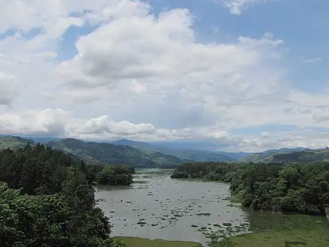 Lake Cachí
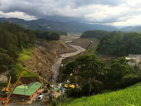 Empty Cachi Dam
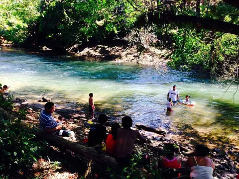 Rio Zapote "Poza"Rio Ario
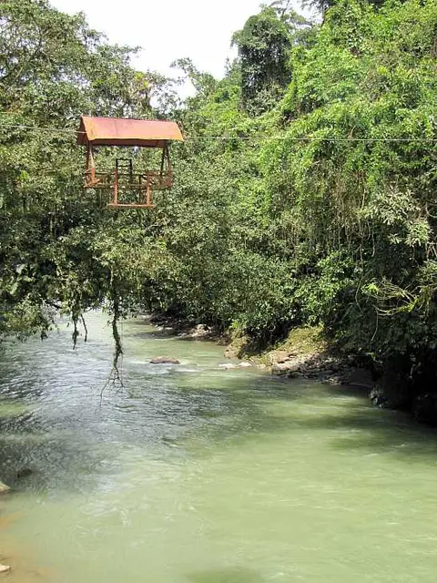 Cable car rio pejibayeCrocodiles on the Tarcoles riverPejibaye River
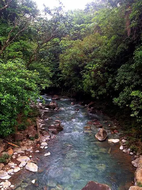 Rio Celeste
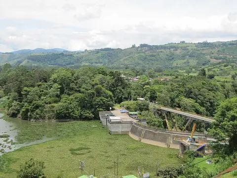 Cachí Hydroelectric DamRio Costa Rica
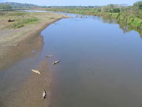 Rio Tarcoles
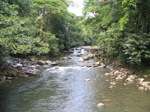 Costa Rica river
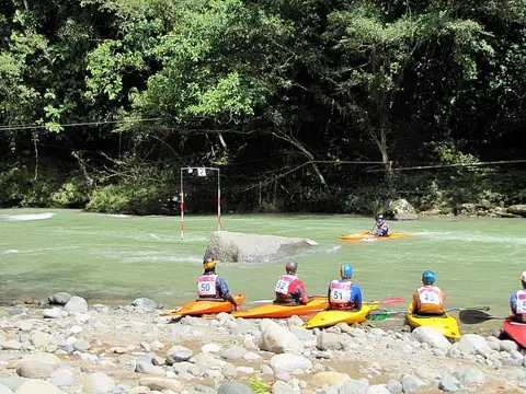 National Kayaking Championship
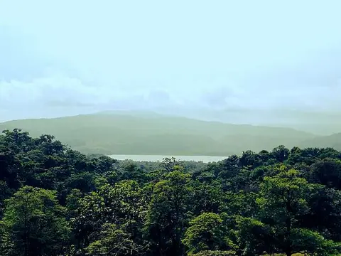 Laguna de Cote
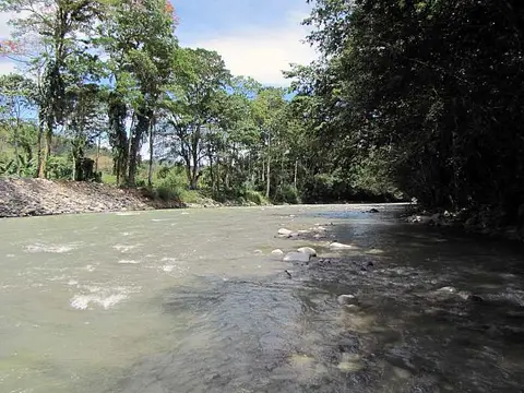 Río Pejibaye
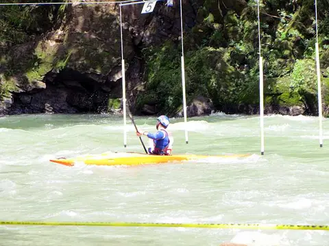 Kayak CompetitionBathers
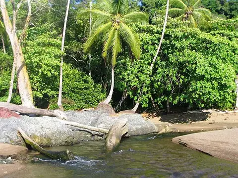 Moving into the seaThe blue lagoon
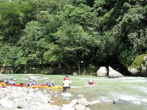 Campeonato Slalom Rio PejivalleDiamante Waterfall
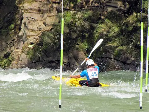 Pejivalle River Kayaking
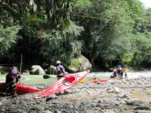 kayaking Rio PejibayeA look at NicaraguaRiver mouth
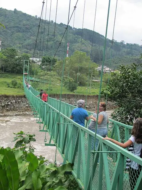 Pedestrian Bridge
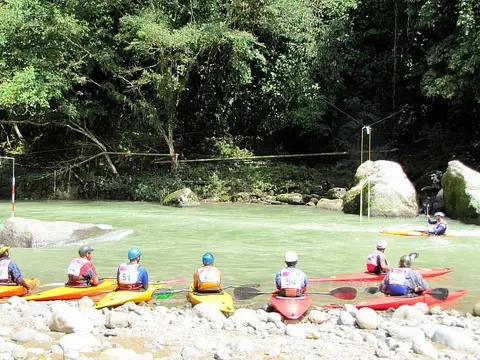 Rio Pejivalle Kayakers
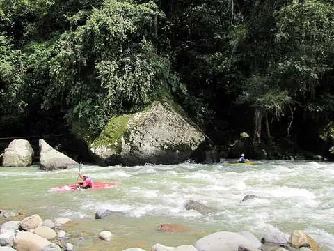 Kayaks en el Rio Pejivalle
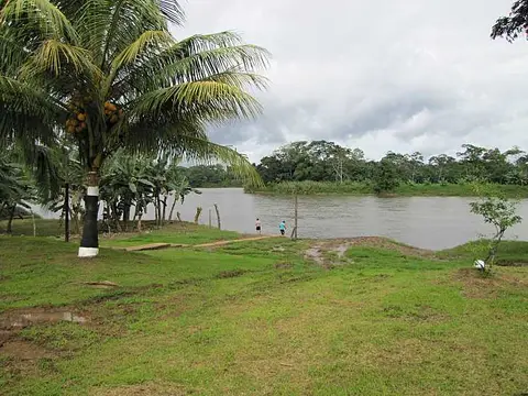 Rio San JuanKayak Skills
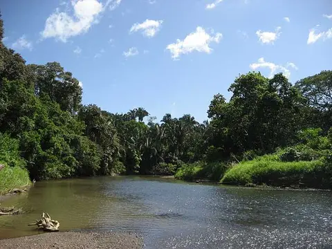 Ario river
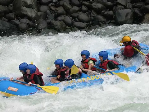 Drafting
 Resting from hike
Why is the Río Celeste blue?
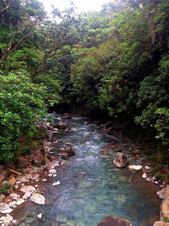
The photo shows a clear stream with a pale blue-green cast running over rounded stones through dense forest on the slopes of Tenorio volcano. A 2013 study by Costa Rican scientists found that the colour is not a dye. The river begins where two colourless streams meet, and the change in acidity makes tiny suspended aluminosilicate particles clump and grow, so they scatter blue light. Later work, from 2022, suggests sulphur-oxidising bacteria and diatoms take part in forming those particles. Its page is Río Celeste.
Where do crocodiles live along the rivers?

This photo shows a sandy bend of the Tárcoles river with a row of crocodiles lying in the foreground water, with forested hills behind. The species is the American crocodile (Crocodylus acutus). An IUCN assessment cites more than 300 individuals in the Río Grande de Tárcoles in an early-1990s study, and SINAC publishes survey reports, so any photo is a moment and not a census. See Río Tárcoles.
How do rivers shape the country's energy and borders?

The Cachí dam closes a valley on the Reventazón river near Juan Viñas. It is a concrete dam whose first unit began commercial generation on 7 May 1966, among the first works by the Costa Rican Electricity Institute (ICE) on that river. The Reventazón rises in the highlands of Tapantí, together with the Pacuare, according to SINAC; see Río Reventazón.
The San Juan, in the north, is a border river. Britannica says the 1858 treaty gave the river to Nicaragua while giving Costa Rica free navigation for commerce, and in 2009 the International Court of Justice confirmed rights that include tourist navigation, but not police vessels.
River conditions, trail access and swimming safety change with rain and season, so follow local advice.