
Samara, Beaches
41 photos
Wide and long off-white beach located in the northen coast of Guanacaste in the Nosara area. Many surfing schools available.
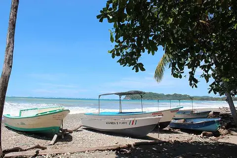 ATAMAICA Boats
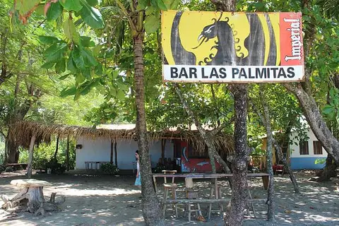 Bar Las Palmitas
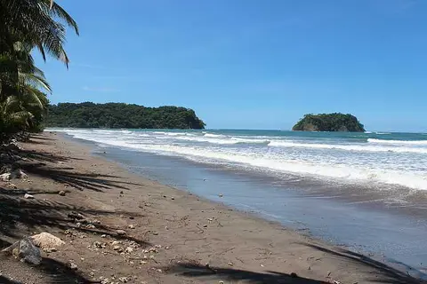 Beach & Chora Island
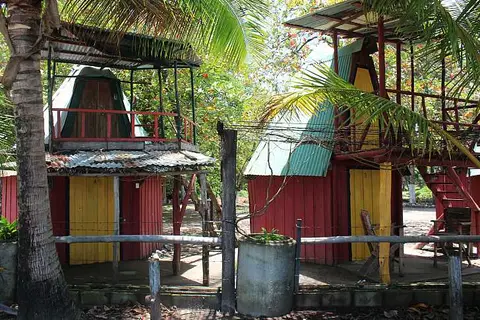 Beach Bungalows
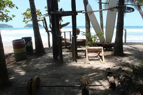 Beach Gym
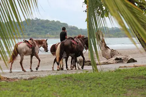 Beach Horses
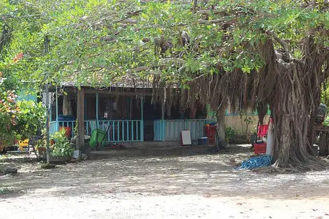 Beach House
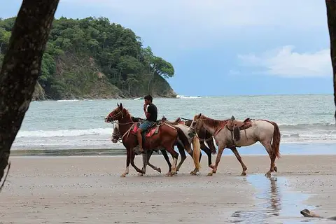 Beach Riding
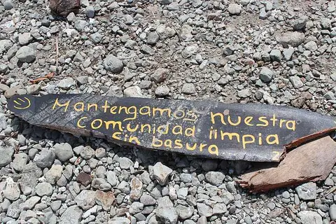 Beach Sign
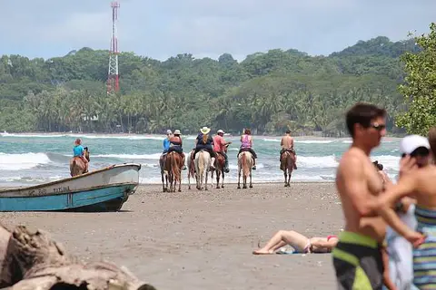 Beach Tour by Horse
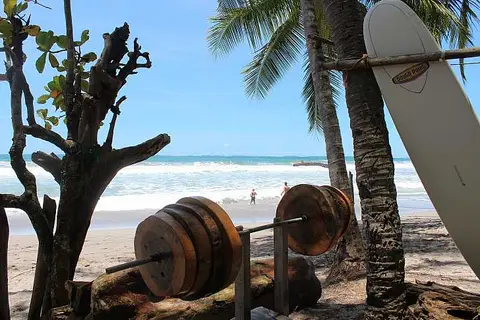 Beach Weights
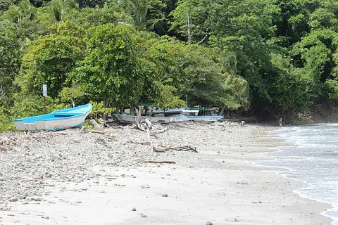 Beached Boats
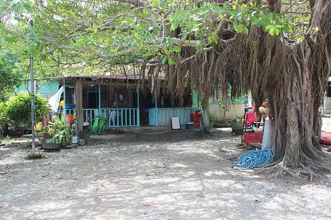 Boat Keepers House
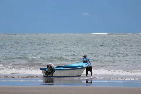 Boat Ride
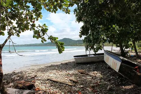 Boats and Corals
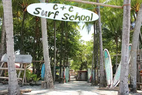 C+C Surf School
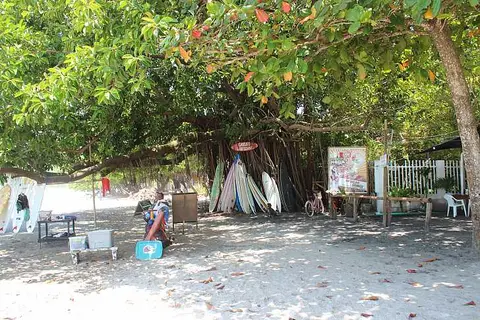 Choco's Surf School
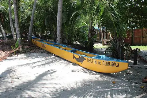 Delfin de Corubici
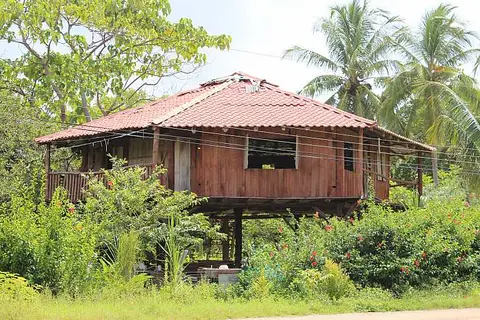 Elevated Beach House
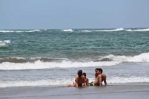 Enjoying Beach and Surf
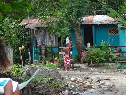 Fisherman's House
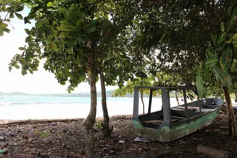 Fishing Boat
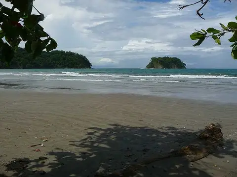 Isla Chora
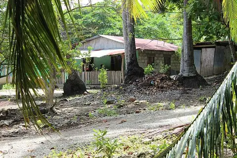 Local Beach House
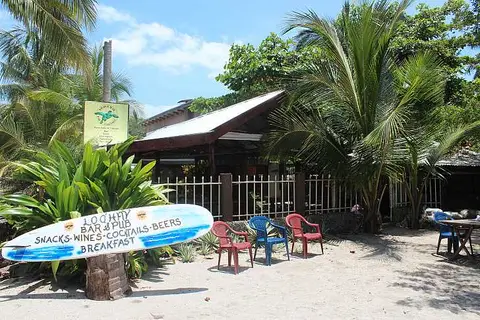 Loq'Hay
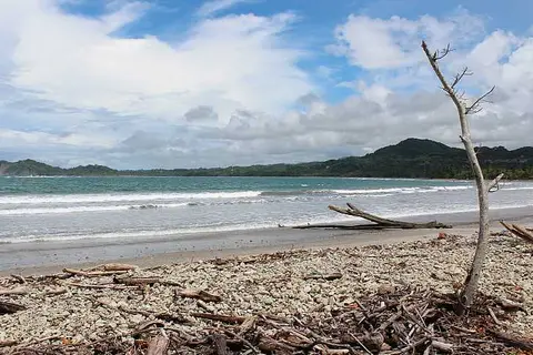 North Beach
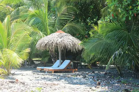 Resting Spot
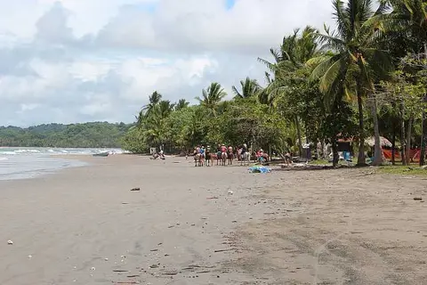 Riding Tour
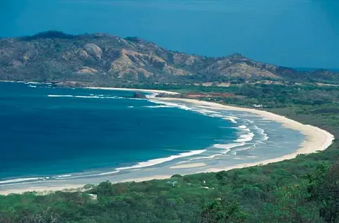 Samara and Carrillo beaches
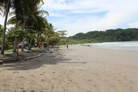 Samara Beach
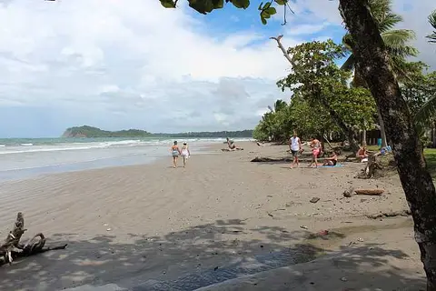 Samara Beach North
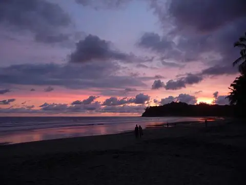 Samara Sunset
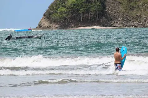 Samara Surfing
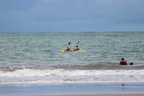 Sea Kayaking in Samara
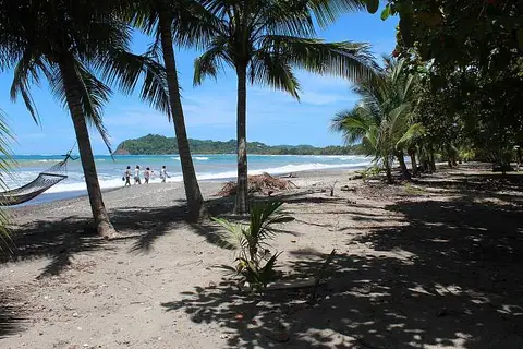 Shadier Beach
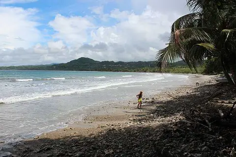 Shell Collecting
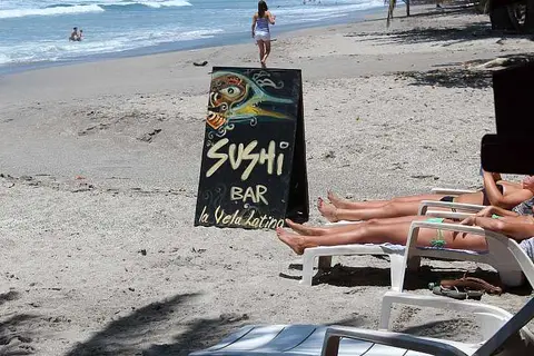 Sushi Bar
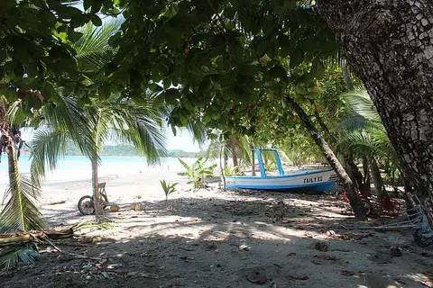 Taily II
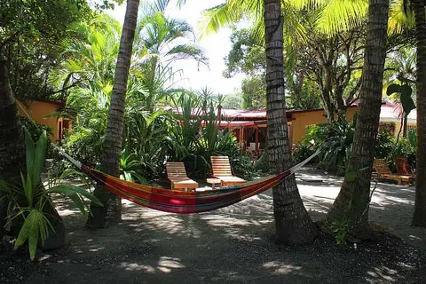 The Fenix Hotel
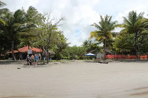 Villas Playa Samara
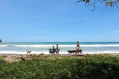 Walking the Dogs
Where is Playa Sámara?
Sámara is a small town on the Pacific coast of the Nicoya Peninsula, in Guanacaste province. Costa Rica's tourism board describes the beach as a bay about four kilometers long with pale sand, gentle waves and an area of mangroves. Other sources give a different length for the beach, so treat the figure as approximate.

The photo shows a wide stretch of sand, with palms behind the sand and a forested headland closing the view to the right.
What is Isla Chora?
Isla Chora is the small island visible from the beach. The tourism board places it on the horizon in front of Punta Indio and notes an area of coral reef there. The archive caption calls it a snorkeling spot, and the tourism board lists snorkeling, diving, fishing and surfing among the water activities of the town.

A small rocky island rises from the sea beyond the surf line, seen across wet sand.
What can you see along the shore?
The beach changes character along its length. The caption on the next photo describes a search for shells and coral fragments at the south end of the beach, where the shoreline in the picture is covered with stones and driftwood instead of fine sand.

Why do people link Nicoya with long lives?
Sámara sits inside the wider region that the Blue Zones project, led by researchers who study areas where people live unusually long, identifies as a longevity hotspot. The project describes the peninsula as about 80 miles long and attributes the pattern to a sense of purpose called plan de vida, close family ties and a traditional diet built on squash, corn and beans. It also notes that local water has the country's highest calcium content and says this may relate to stronger bones. The wording is tentative, and the project is promotional in character, so read it as a hypothesis rather than a proven cause. Nothing in these sources ties the town of Sámara itself to the findings.
Related pages. For comparison, browse beaches of Costa Rica. Another town on the same peninsula is Montezuma, and near the southern tip lies Cabo Blanco Nature Reserve. Sea conditions, reef visibility and access change with the season, so check local advice before swimming or snorkeling. The photos here were taken over many years and may not show the beach as it looks now.
Sources
Last reviewed November 6, 2026.